About Arata Excursion Course

Course overview
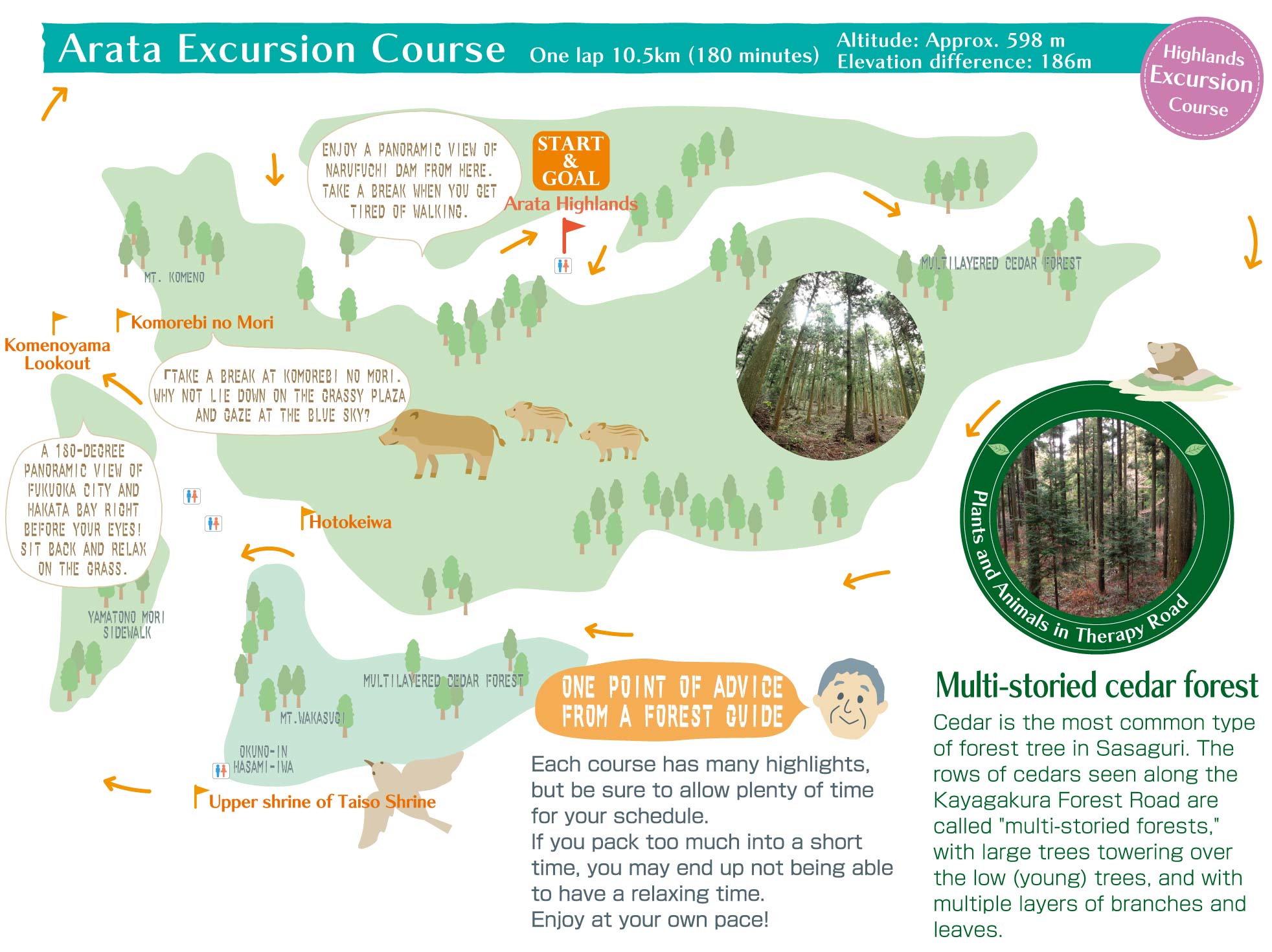
This course takes you through the Kayagakura Forest Road, to the upper shrine of Wakasugi Taiso Shrine, to the summit of Mt. Komeno, through Komorebi no Mori and around to the Arata Highlands.
The cedar trees seen along the Kayagakura forest path are multi-storied forests. The low trees stand amont the large, towering trees lined up between the trees, forming a forest with two or more levels.
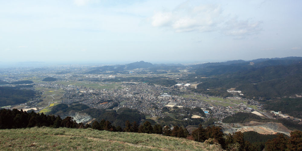
The view from the 594-meter-high Komenoyama Lookout offers a spectacular panoramic view of Fukuoka City and Hakata Bay.
Summit of Mt. Komeno
After climbing up and down the highlands and mountain passes, the course takes you to the 594-meter-high Mt. Komeno.
Would you like to take a break at a spot with a spectacular view of Fukuoka City and even Hakata Bay? On holidays, colorful hang gliders and paragliders can be seen soaring through the sky.
View spot
Komenoyama Lookout, Meoto Sugi (“Wedded Cedar”), Tengu-iwa (Tengu Rock) winter cherry blossoms
Rest areas
Komenoyama Lookout, Okuno-In Temple, Okuno-In Temple parking lot coffee shop. Benches available.
Watering places
Wakasugi River, Sanno River
Forest species
Japanese cedar, Japanese cypress
Forest age: 30-230 years
Understory vegetation
Japanese laurel, East Asian eurya, etc.
Insects and small animals: Hare, deer, wild boar, tanuki (raccoon dogs), bush warblers, pheasants, wood pigeons, warbling white-eye
Course information


| Total distance | Approx. 10km |
|---|---|
| Altitude | Approx. 530m |
| Elevation difference | 186m |
| Topography | Mountainous terrain |
| Slope | Average:8.4% Min.2.0% Max.50.0% |
| Road surface conditions | Dirt, gravel, partially paved roads |
| Sign (Signpost) | 23 locations |
| Restroom | Arata Highlands parking lot, Upper shrine of Taiso Shrine, Upper level of the parking lot at Wakasugi Worship Hall, Wakasugi Rakuen Camping Ground |


